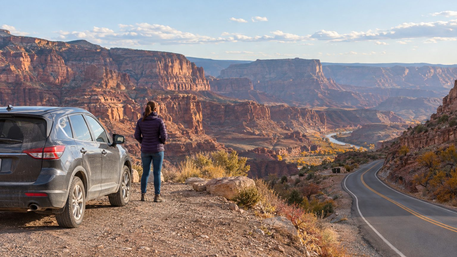
Trail Ridge Road in Rocky Mountain National Park tops out at 12,183 feet. Its closing date in a given year is a coin toss. In 2025, dry conditions kept it open until November 14, and in 2016 it held out until November 18. Those are the exceptions, though, and a road trip in November USA style has to be planned around them.
November rewards drivers who choose the route first and the dates second.
- High mountain passes above about 8,000 feet usually close by mid-October to November.
- Florida’s Overseas Highway runs from Miami to Key West and stays practical from November through March.
- Texas Hill Country foliage typically peaks around the start of November, with daytime highs near 70 degrees.
- Daylight saving time ends November 1 in 2026, shortening driving days in the north and canyon country.
The roads that close, and the ones that don’t
Start with the casualties. Glacier’s Going-to-the-Sun Road normally shuts down around the third Monday of October and doesn’t fully reopen until late June or early July. Yosemite’s Tioga Road and Glacier Point Road typically close from November through late May or early June. Trail Ridge usually closes to through traffic in mid-October. If your dream route crosses a pass above roughly 8,000 feet, assume it is gone unless the park says otherwise.
Even a closed road isn’t always a dead end. At Rocky Mountain, Bear Lake Road and Moraine Park stay open, along with both ends of Trail Ridge, up to Many Parks Curve on the east side and the Colorado River Trailhead on the west.
The Blue Ridge Parkway needs a more careful read. As of mid-September 2026, it was open end to end except for a Helene-damaged zone between mileposts 317.5 and 355.3 in North Carolina, plus a handful of short signed closures for bridge and maintenance work. The National Park Service has said planned “boom axe” vegetation-control closures begin in November and run through early spring. They happen on weekdays between 8 a.m. and 4 p.m., both lanes close in the work zone, and they often don’t appear on the official closure chart. Check the NPS page the morning you drive, and again at lunch.
Great Smoky Mountains National Park publishes a schedule that shows the cutoffs clearly. In 2026, Rich Mountain Road runs through November 9, while Kuwohi Road (formerly Clingmans Dome Road) and the Roaring Fork Motor Nature Trail both run through November 29. Plan a Smokies loop for the first half of the month if you want every spur.
Closures follow elevation. Chase low ground and southern latitudes.
Where the weather cooperates
The Florida Keys are the safest bet on the calendar. The Overseas Highway covers about 113 miles from Miami to Key West over a chain of bridges, and the season runs roughly November through March, when rainfall is low and the hurricane threat has faded. Water temperatures are still forgiving thanks to the Gulf Stream, so snorkeling in Key Largo remains realistic. Build in a stop at Everglades National Park on the way down, where the dry season brings wildlife into easier view.
Texas Hill Country does something most of the country can’t. Foliage there tends to peak around the start of November, and daytime temperatures average about 70 degrees. A loop from Austin or San Antonio through Fredericksburg and Bandera is a few days of easy driving, with wineries, small-town main streets and almost no pass or ice to worry about. Texas also has Día de los Muertos events in San Antonio on November 1 and 2, if you can time it.
Then there is the desert Southwest, which is the strongest card for anyone who wants national parks by car. The classic loop of Las Vegas, Zion, Bryce Canyon, the Grand Canyon and Phoenix works in November because the summer crowds have thinned and campgrounds reopen with real availability. Driving the Zion-Mount Carmel Highway at dawn on a weekday, with the canyon walls catching first light and few cars around, is the kind of scene July visitors never get. Bryce sits at around 8,000 feet, though, so expect cold mornings and possible snow there.
Santa Fe and northern New Mexico sit in between. Days are sunny and only mildly chilly, which makes the High Road to Taos and the Enchanted Circle viable if you keep an eye on forecasts for the Sangre de Cristo range.
Light, daylight and the Thanksgiving squeeze
Daylight saving time ends on the first Sunday of the month, which is November 1 in 2026. After that, sunset arrives early in the evening across much of the country, often before 5:30 p.m. in the northern half. The practical effect is that your 300-mile day shrinks. Aim to finish driving by mid-afternoon in canyon country, and treat dusk as a hazard in Texas and the Keys, where deer and wildlife cross roads at the edges of daylight.
The upside is the light itself. The sun stays low all day, so red rock glows at 10 a.m. and again at 3 p.m. Fall color in the southern Appalachians drifts down into the valleys, with peak color on routes below 4,000 feet running from mid-October into early November, according to the National Park Service.
Thanksgiving week is its own problem.
The Wednesday before through the Sunday after is the busiest travel stretch of the year in the United States. Highways fill, campgrounds spike, and popular parks can see their only real crowds of the month. If you have flexibility, take your trip in the first two weeks of November or the week after Thanksgiving. If you don’t, drive the long stretches on Thanksgiving Day itself, when interstates are famously quiet.
Building the route
A workable template looks like this. Pick one region and keep elevation low, say under 6,000 feet for the high-mileage days. Book lodging with a flexible cancellation policy, since a single early storm can turn a pass into a detour of several hours. Carry a paper map or an offline download, because cell service in canyon country and the Smokies is unreliable at best.
Check three sources before leaving each morning: the park or state DOT road page, the National Weather Service forecast for your highest point of the day, and a live traffic app for the interstate legs. Sources often disagree about “open” versus “ungated,” so trust whichever was updated most recently. Pack for a 40-degree swing between dawn and midday, plus an ice scraper if you’re headed anywhere north of Texas.
And if you are flying in to start, choose the airport nearest your first low-elevation stretch. Las Vegas for the Southwest, Miami for the Keys, Austin or San Antonio for Hill Country. Rental availability tends to be better there outside Thanksgiving week, which keeps one-way fees and prices less painful.
One detail to hold on to: Trail Ridge’s latest closing on record is December 2, 1933. Nobody should plan a trip around a record like that.
Sources : nps.gov | zenvoya.ai